Hurricane Watch Net Activating as Hurricane Isaias Approaches US East Coast

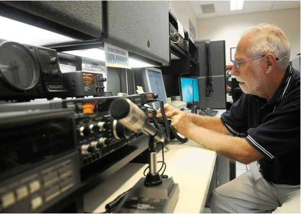
The Hurricane Watch Net (HWN) activated on 14.325 MHz on July 31 at 1500 UTC as Hurricane Isaias [pronounced: ees-ah-EE-ahs] heads toward the US on an uncertain trajectory. The Volusia County, Florida, and State emergency operations centers were reported at a Level 3 (Monitoring) status.
“For years I’ve said, ‘Just when you think you have Mother Nature figured out, she changes her mind,’” HWN Manager Bobby Graves, KB5HAV, said. “Shortly after Advisory 11 for then-Tropical Storm Isaias was issued [at 0300 UTC], an Air Force Reserve hurricane hunter aircraft found that the tropical storm had strengthened to a hurricane. The maximum winds had increased to 80 MPH with higher gusts making the storm a Category 1 hurricane.”
The National Hurricane Center (NHC) forecast for 0900 UTC called for Isaias to strengthen into a Category 2 hurricane during the next 24 hours.
“Unfortunately, Isaias appears to be taking a somewhat similar track along the US east coastline, such as Matthew in 2016 and Dorian in 2019,” Graves said. “Interests throughout the Bahamas, Florida, Georgia, South and North Carolina, and farther north need to keep a close watch on Isaias. This means the Hurricane Watch Net could be running another marathon activation.”
An NHC Advisory issued at 1500 UTC included a Hurricane Watch for portions of the Florida east coast from north of Deerfield Beach northward to the Volusia-Brevard County Line. A Tropical Storm Warning has been issued for portions of the Florida east coast from north of Ocean Reef northward to Sebastian Inlet and for Lake Okeechobee.
As of 1500 UTC, the NHC said the center of Hurricane Isaias was located near latitude 21.7 N, longitude 74.5 W, moving toward the northwest near 16 mph (26 km/h), and a general northwestward motion with some decrease in forwarding speed is expected for the day or so followed by a turn toward the north-northwest. On the forecast track, the center of Isaias will continue to move near or over the Southeastern Bahamas today. Isaias is forecast to be near the Central Bahamas tonight, and move near or over the Northwestern Bahamas Saturday and near the east coast of the Florida peninsula Saturday afternoon through Sunday.
“On the forecast track, the center of Isaias will continue to move near or over the Southeastern Bahamas today. Isaias is forecast to be near the central Bahamas tonight, and move near or over the northwestern Bahamas on Saturday and near the east coast of the Florida peninsula Saturday afternoon through Sunday.
“Tropical storm conditions are possible along portions of the Florida east coast beginning Saturday, and a tropical storm watch remains in effect. While storm surge watches are not currently needed for this area, they may be required later today, if the forecast track shifts closer to the coast. Heavy rains associated with Isaias may begin to affect the south and east-central Florida beginning late Friday night, and the eastern Carolinas by early next week, potentially resulting in isolated flash and urban flooding, especially in low-lying and poorly drained areas. Isolated minor river flooding is possible in the Carolinas early next week,” the NHC said. “Hurricane conditions and dangerous storm surges are expected in portions of the Bahamas today and Saturday, and hurricane warnings are in effect for these areas. Preparations to protect life and property should be rushed to completion.”
The HWN seeks “observed ground-truth data from those in the affected area,” including wind velocity and gusting, wind direction, barometric pressure, and, if available, rainfall, damage, and storm surge. “Measured weather data is always appreciated, but we do accept estimated,” Graves noted.
Source:ARRL
If you have found a spelling error, please, notify us by selecting that text and pressing Ctrl+Enter.


